
Helicopter Mapping
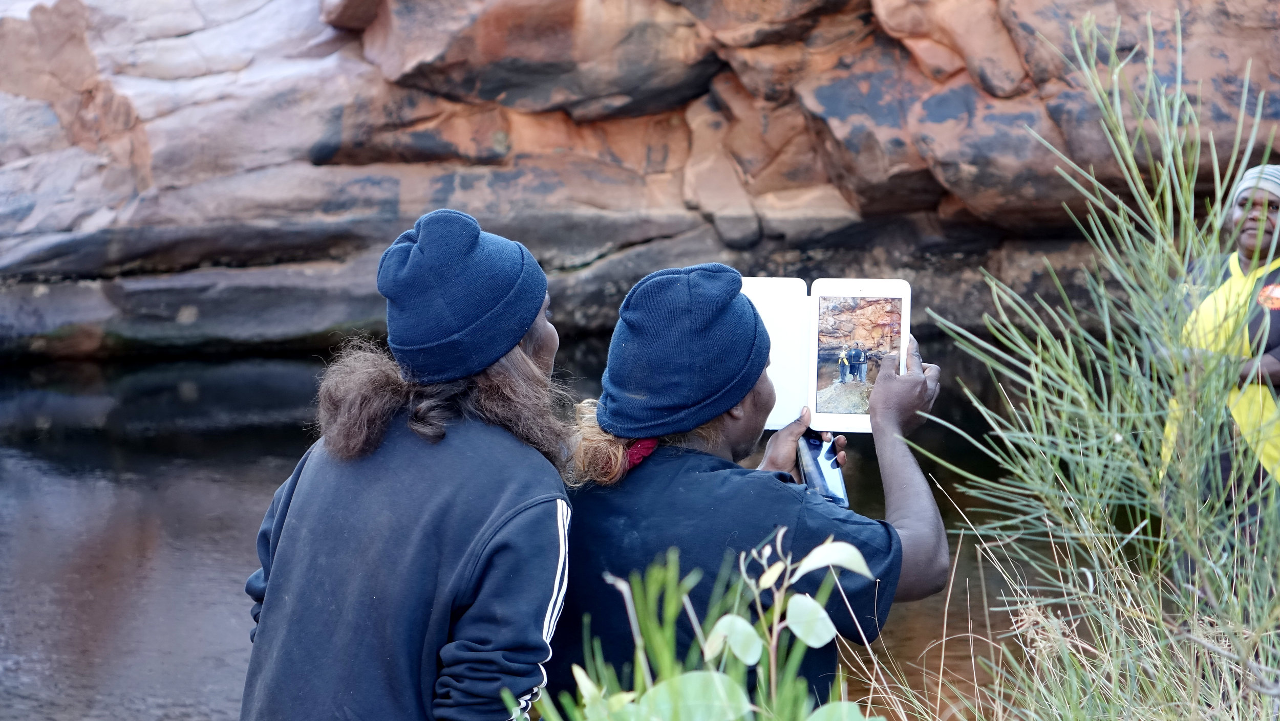
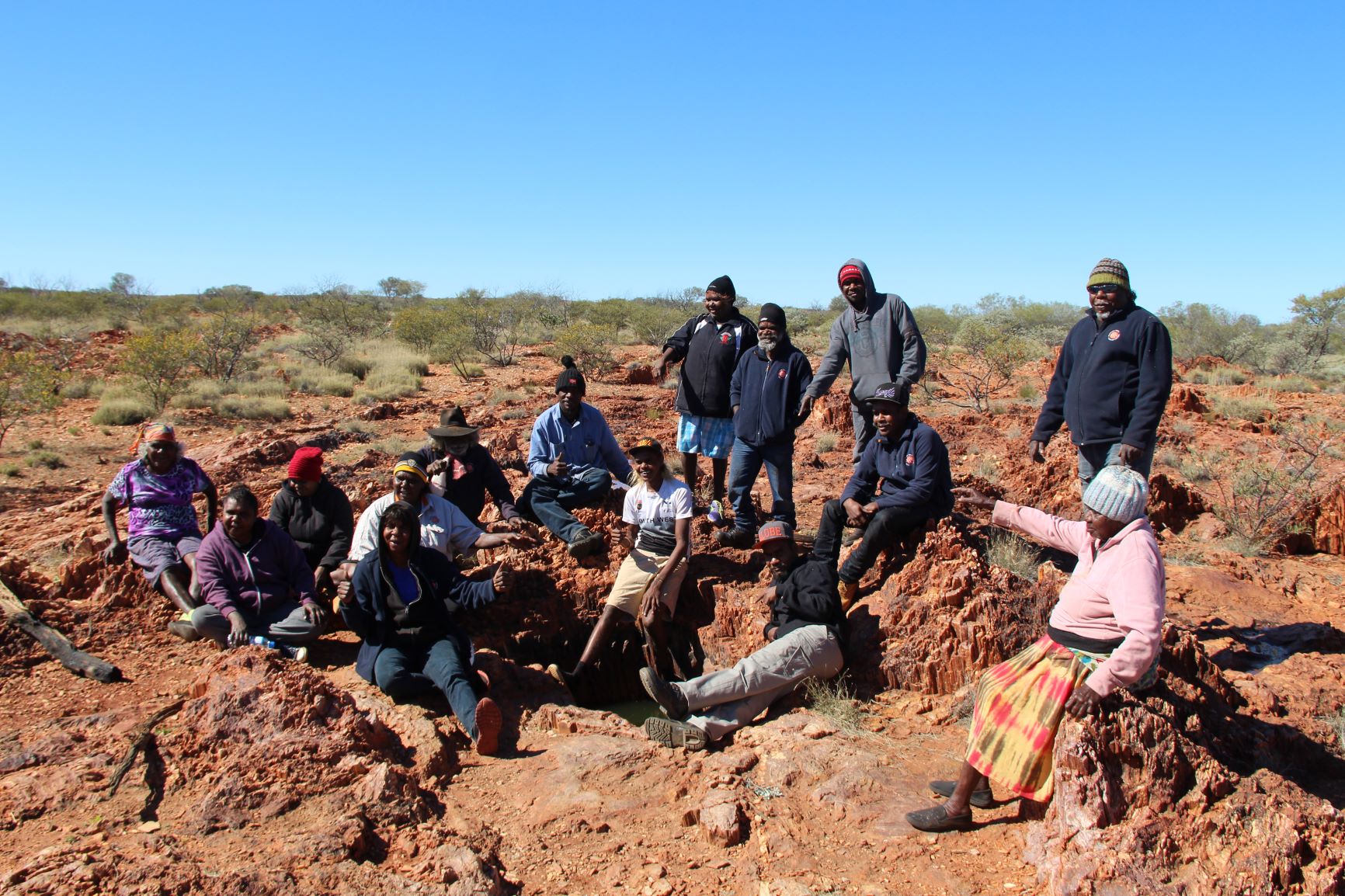
The helicopter mapping program documents waterholes and other significant sites along cultural routes in Martu country. Many of the sites have not been visited in decades due to the remoteness of the country.
Complete knowledge of these places and tracks still exists, but the elders who hold this knowledge and know the sites are ageing. There is now only a handful of older Martu people who can locate and describe sites using a helicopter, and once this information is gone, it will be gone forever.
This program aims to capture their knowledge while it is still possible. Without the knowledge of these water sources the custodianship and the ensuing social, cultural and environmental information will not be recorded to allow future generation’s knowledge of, and access to, significant places and stories.
This program also collects significant cultural, social and historical information about precincts and sites, to inform Kalyuku ninti (return to country) trips and the work of ranger teams on country.

“The helicopter mapping program is important for Martu. The helicopter helps us to follow our songlines and take us along the routes where we used to walk and camp when we were living in the desert. We can take our young people back to our country and tell them about the waterholes and then they can tell their sons and daughters.”
Cultural Programs
Oral Histories

Cultural Archive
Family Trees

Language Program
